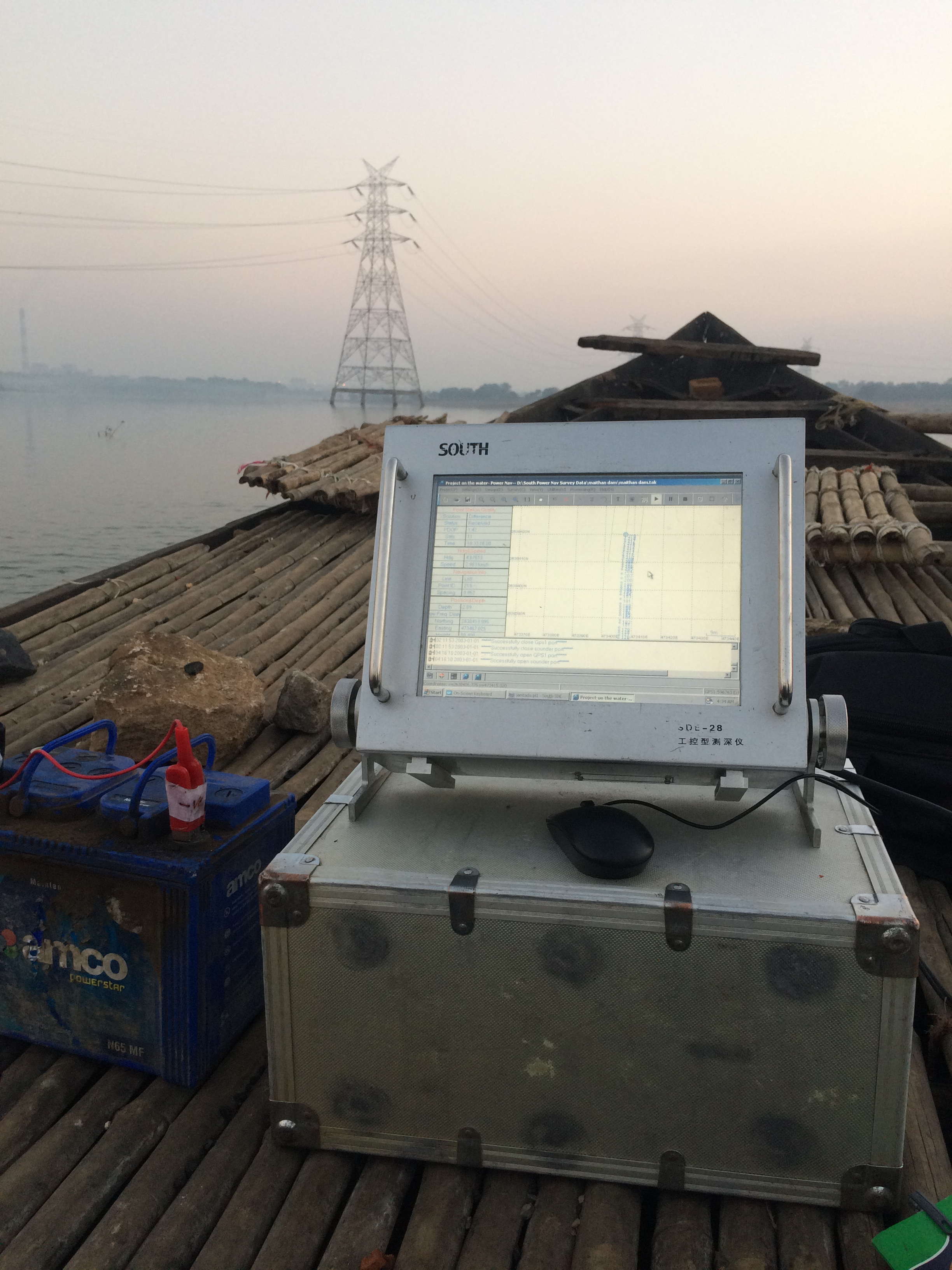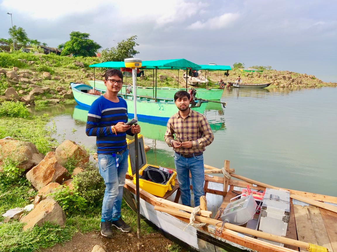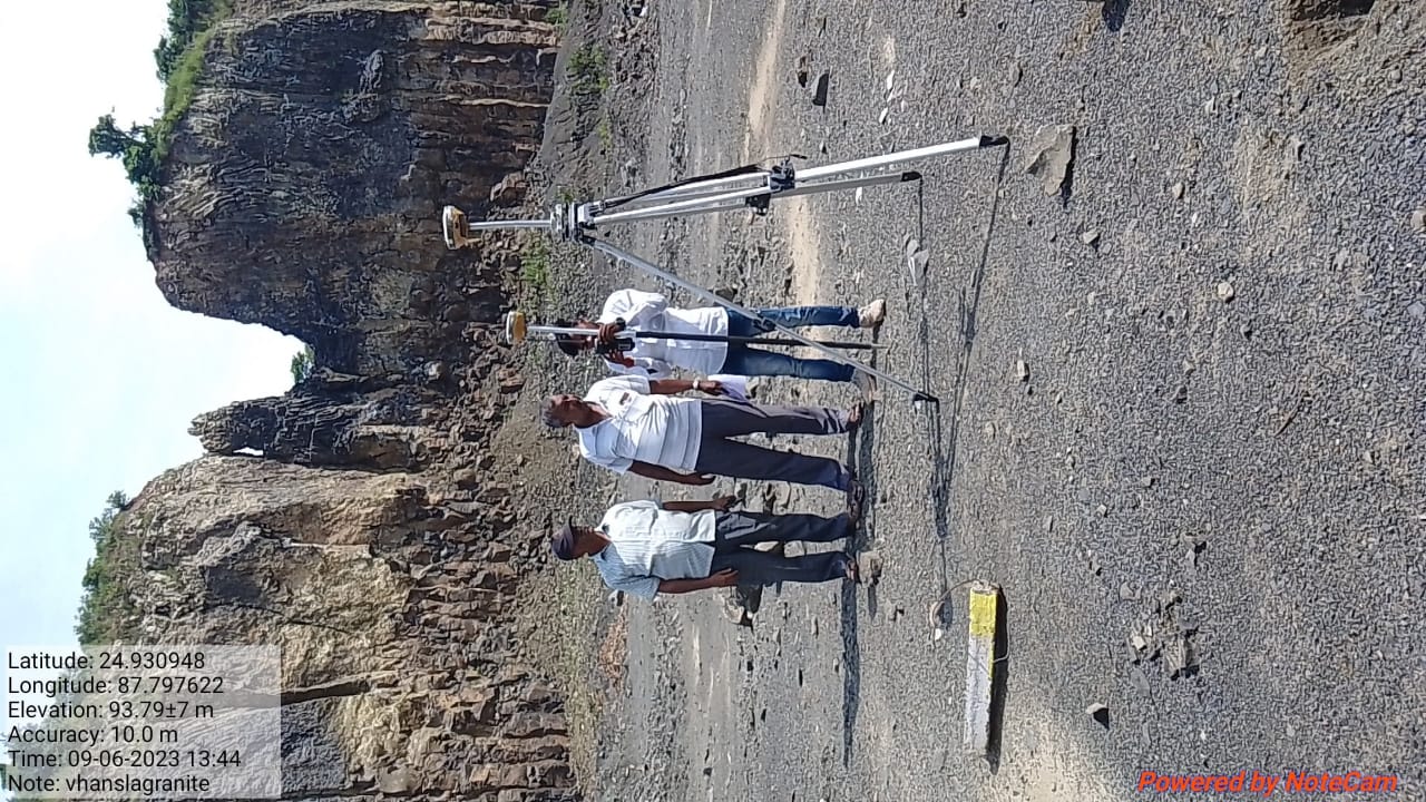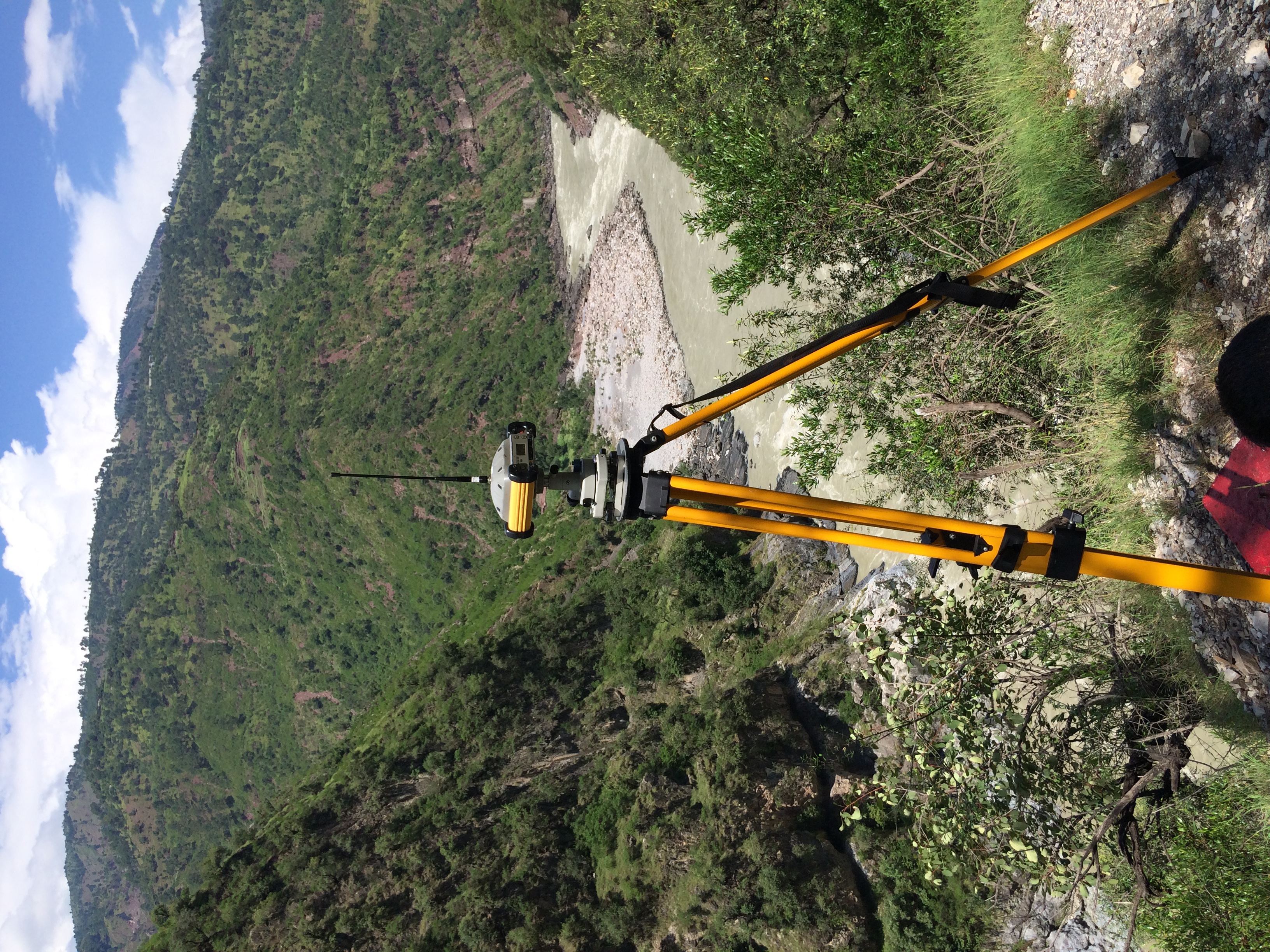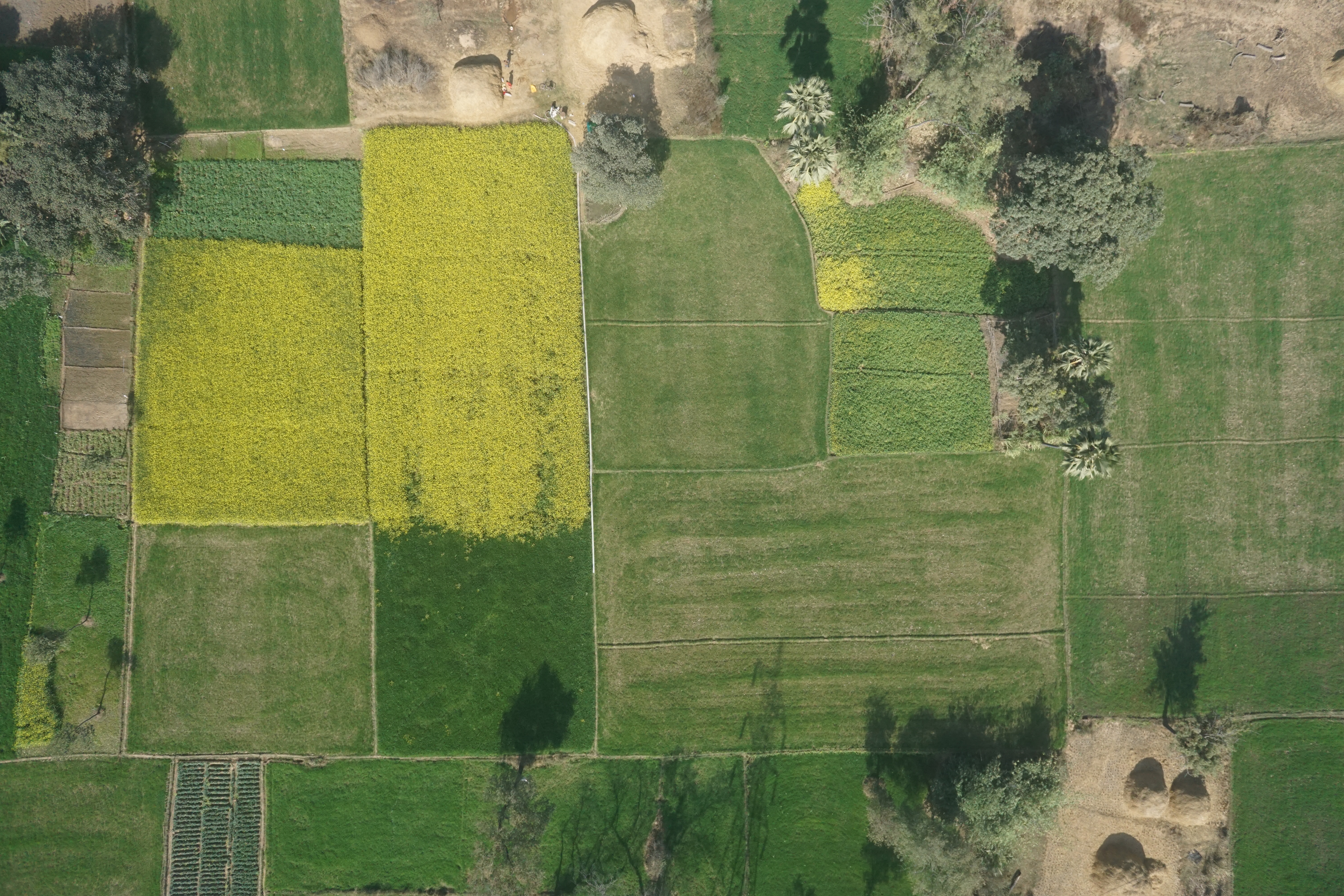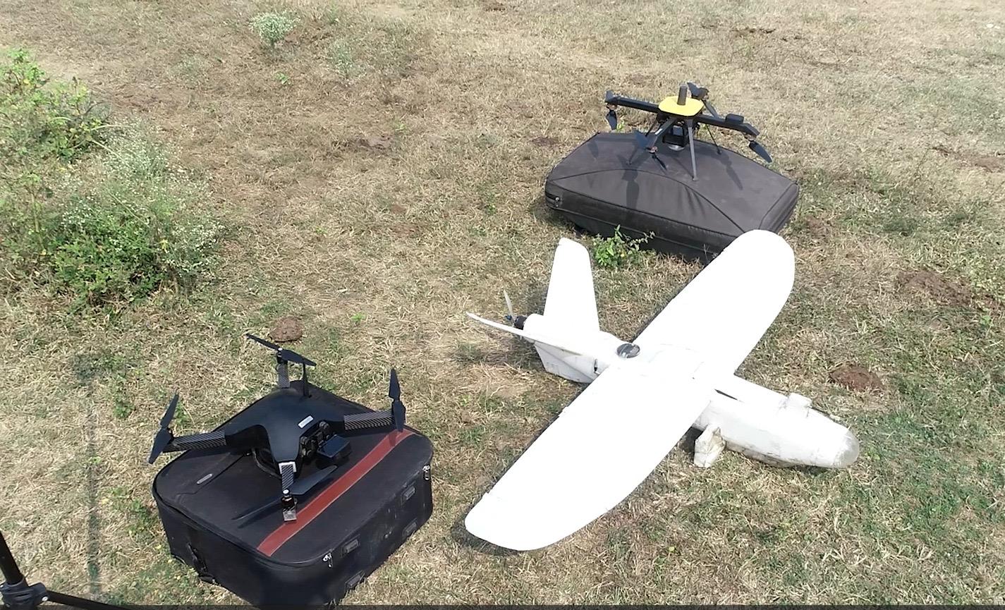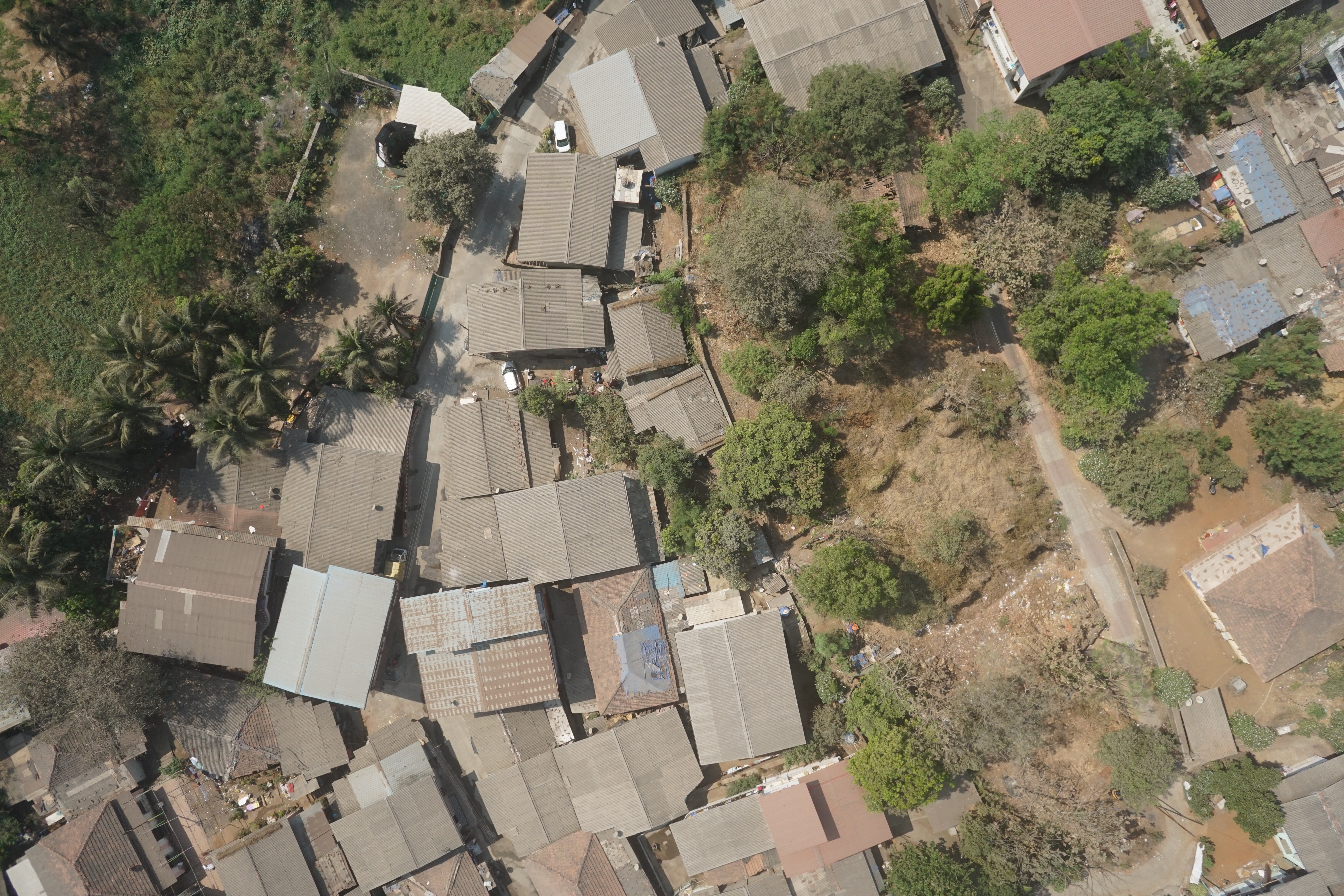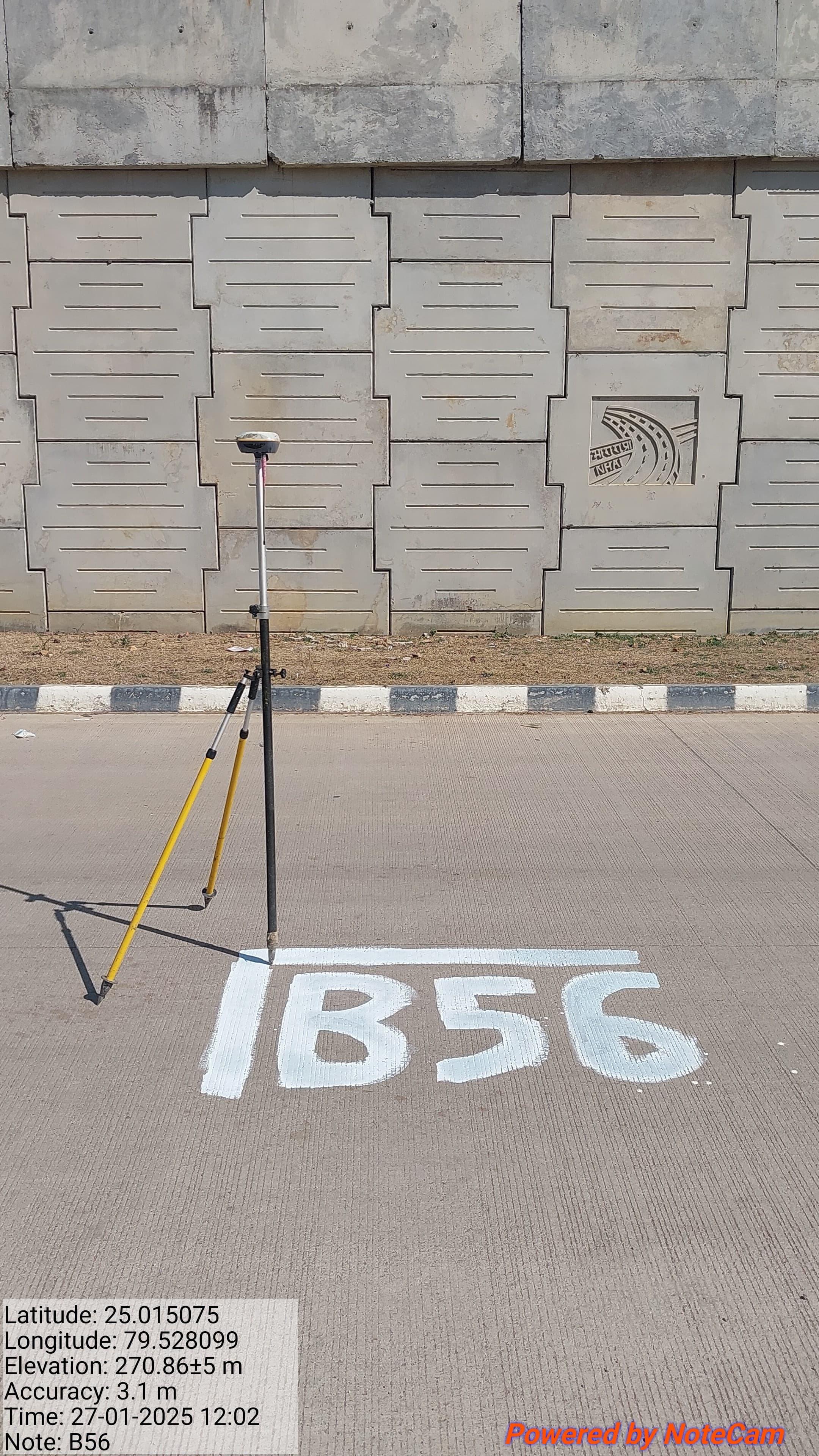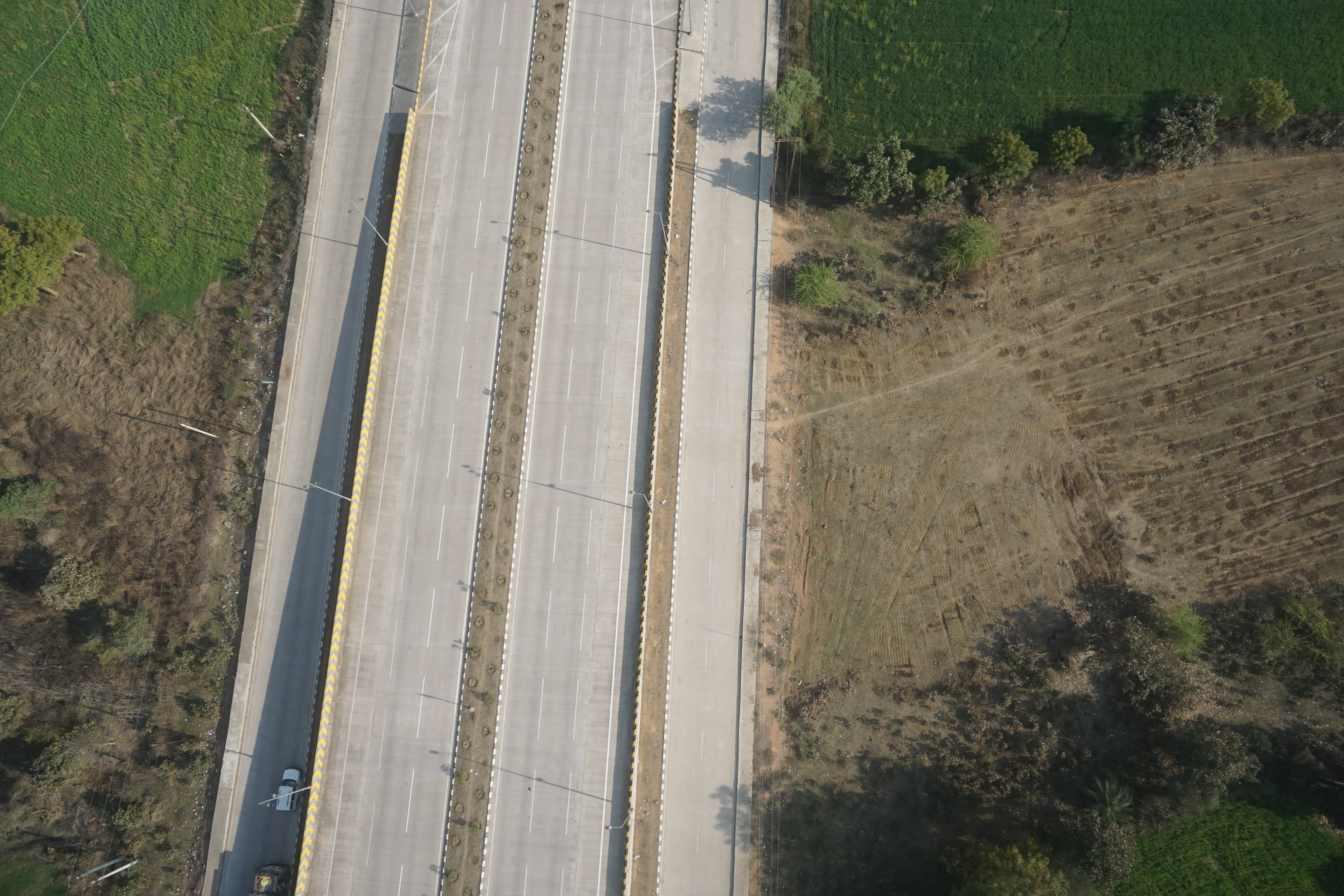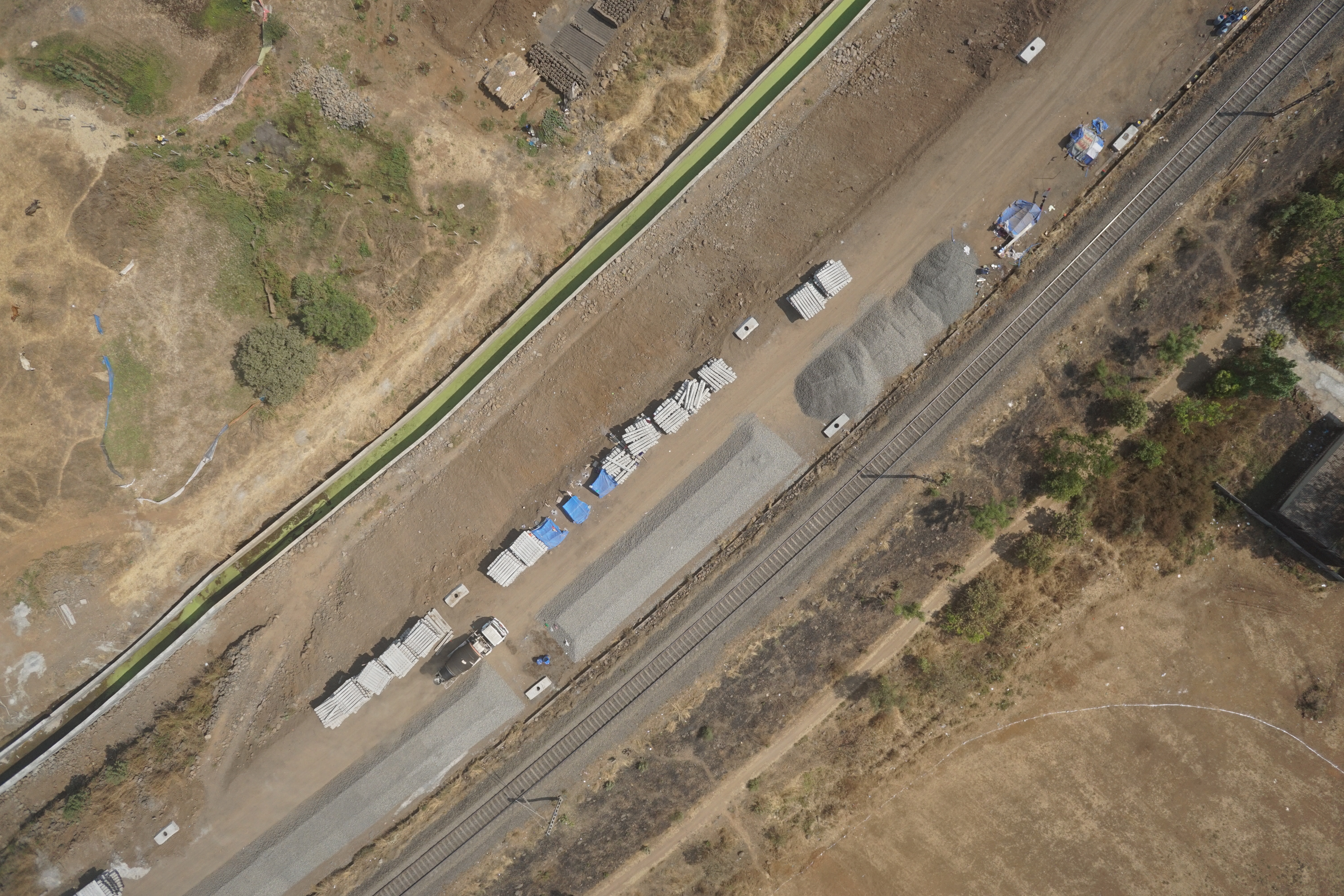

We provide precise Surveying and Mapping services using modern tools to measure land, define boundaries, and create detailed maps for construction, planning, infrastructure, and development projects. Our expert team utilizes cutting-edge technologies such as GPS, Total Stations, UAVs (drones), and GIS software to ensure accuracy and efficiency in every project. From topographic and cadastral surveys to digital mapping and 3D modeling, we deliver high-quality geospatial data tailored to meet client needs. These services play a critical role in project success by supporting informed decision-making, reducing risk, and enhancing design precision across a wide range of industries. We are doing different-different surveys that are listed below...
1. Engineering Topography Survey
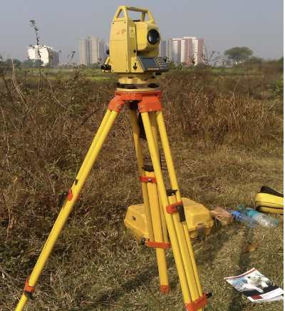
ASCON Engineering carries out all kinds of detailed Engineering Topography surveys with high-precision instruments, delivering highly accurate data to clients across India.
With expert survey teams and advanced equipment—such as reflectorless, semi-robotic and robotic total stations, DGPS/RTK, and drones—we ensure top-quality survey drawings tailored to each project.
Topographic surveys play a vital role in urban/rural development, infrastructure projects, highways, railways, metros, tunnels, oil & gas sectors, irrigation, and construction planning.
These surveys measure the Earth’s surface, capturing elevation, terrain, and features. The data supports design and execution of roads, bridges, pipelines, buildings, and other engineering works.
Our goal is to produce accurate maps with all existing features—roads, railways, bridges, culverts, utilities, and contours—while supporting alignment planning for tunnels, highways, pipelines, and canals.