About Us
Ready to Bring Bigger, Better, Faster And Stronger Projects Than Ever Before!!
We would like to introduce ourselves, with dignity and pride, as 15 years experienced for providing Geospatial solution to our clients with land surveying, mapping and GIS requirements.
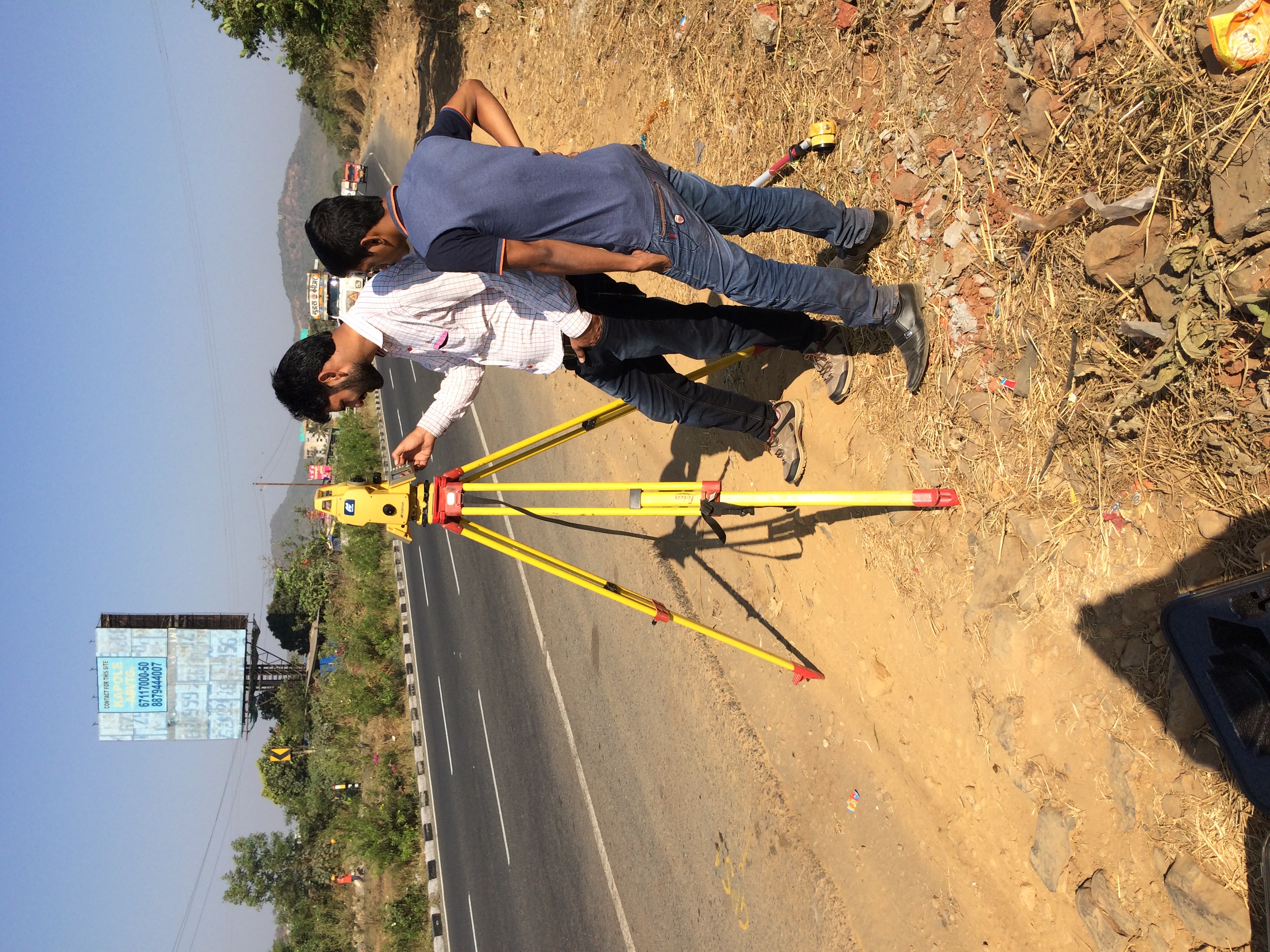
We use the ‘state of art’ advance technology of equipment’s Mobile LiDAR Scanning, UAV (Unmanned Aerial Vehicle)/Drone, Dual frequency DGPS (Differential Global Positioning System), GNSS receivers (Global Navigation satellite system), Total Station, and customize Remote Sensing and GIS solutions.
15 years of experience
Our Projects
We offer our cost-effective quality services to government, semi government, private organization and corporates all over India.
We also provide Infrastructure services in the discipline of Engineering Construction (Road-Highway, Building, Bridges, Canal), etc. we have a dedicated team of professional who can handle Infrastructure and Consultancy Projects.
Our site execution team consists of highly skilled, experienced engineers, surveyors and professionals.
We own a wide variety of Advance Land Surveying & Mapping Instruments, including latest South Galaxy G7, HI target V90, Trimble R8 Dual frequency DGPS receivers, DGCA type approved Idea Forge PPK UAV/Drone, Matrix 350 Lidar Drone, Customized VTOL UAV, Leica TS01 Total Station, Sokkia and Leica Auto Level, Heavy Construction Equipment’s (TATA Hitachi 210, TATA Signa, etc.).
Our Mission
To provide High Quality, cost-effective services of Construction (Road-Highway, Building, Bridges, Canal) works, Surveying & Mapping Services (using Mobile LiDAR Scanner, UAV (unmanned Aerial Vehicle)/ Drone, GPR (Ground Penetrating Radar), DGPS/GNSS), and Geospatial Services (Areal Photogrammetry, Aerial LiDAR Mapping, and GIS technology), to Customers.
Our Vision
To contribute significantly to India’s economy growth and become a global leader in infrastructure and geospatial services.
TESTIMONIALS
What Client Saying

I like more and more each day because it makes my life a lots of easier. They are the best and expertly trained team members who take the extra step and go the expert dynamic solutions to our customers fit changing global environment.
John Deo
- kyber - engineer
I like more and more each day because it makes my life a lots of easier. They are the best and expertly trained team members who take the extra step and go the expert dynamic solutions to our customers fit changing global environment.
Jancy
- kyber - Manager
I like more and more each day because it makes my life a lots of easier. They are the best and expertly trained team members who take the extra step and go the expert dynamic solutions to our customers fit changing global environment.