Our Vision & Mission
To provide high quality, cost-effective services of construction, contribute significantly to India’s economic growth and become a global leader in infrastructure and geospatial services.
Read MoreClient Satisfaction
Client satisfaction shows how well a company meets or exceeds expectations — leading to trust, repeat business and long-term loyalty, essential for sustained growth and a strong reputation.
Project Planning
Goals are defined, tasks organised, resources allocated and timelines set to guide the team toward successful and timely project completion.
General Contracting
Managing a construction project from start to finish — hiring subcontractors, sourcing materials, overseeing timelines and ensuring quality and safety standards.
Ready to Bring Bigger, Better, Faster And Stronger Projects Than Ever Before!!
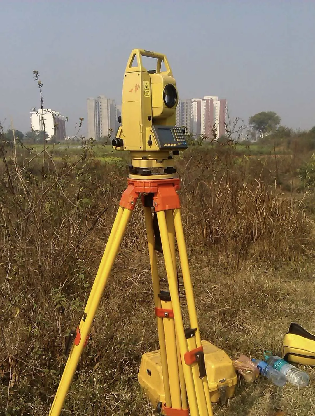
We would like to introduce ourselves, with dignity and pride, as 15 years experienced in providing geospatial solutions to our clients with land surveying, mapping and GIS requirements.
We use the ‘state of the art’ technology of equipment: Mobile LiDAR Scanning, UAV (Unmanned Aerial Vehicle) / Drone, Dual frequency DGPS (Differential Global Positioning System), GNSS receivers (Global Navigation Satellite System), Total Station, and customised Remote Sensing and GIS solutions.
High Quality Services You Needed
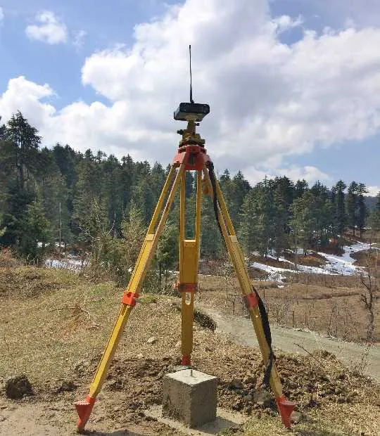
Surveying and Mapping
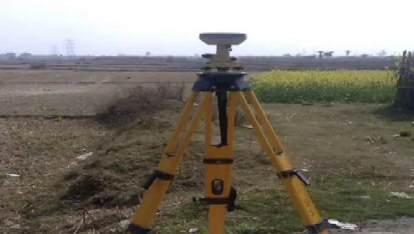
We provide precise Surveying and Mapping services using modern tools to measure land, define boundaries, and create detailed maps for construction, planning, infrastructure, and development projects.
Read More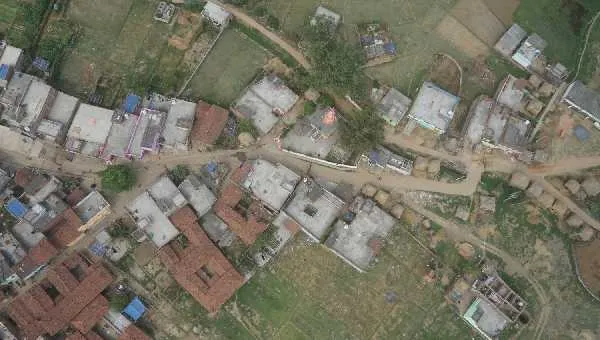
Geospatial Services
Our Geospatial Services use GIS, remote sensing, and GPS to deliver accurate spatial data for planning, development, and analysis across infrastructure, environment, and asset management projects.
Read More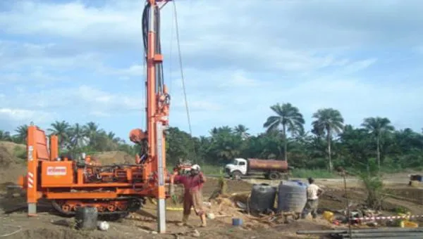
Geotechnical Services
We offer Geotechnical Services that analyze soil, rock, and groundwater to ensure safe, stable, and efficient design and construction for infrastructure, buildings, and development projects.
Read MoreWe Help You to Build Everything You Needed
- Customer satisfaction — our work is measured by our clients’ trust and repeat business.
- A dedicated team of 15 skilled professionals — surveyors, technical support staff and AutoCAD specialists — delivering exceptional results across surveying and consultancy services.
- A strong reputation and expertise in delivering high-quality services across various industries, for government, semi-government and private clients all over India.
Major Projects Executed
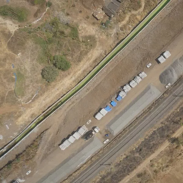 Drone Survey
Drone Project
Aerial photography with UAV at 2.5 cm GSD for an irrigation project, and Drone LiDAR aerial survey of 950 km for railway and road.
View Project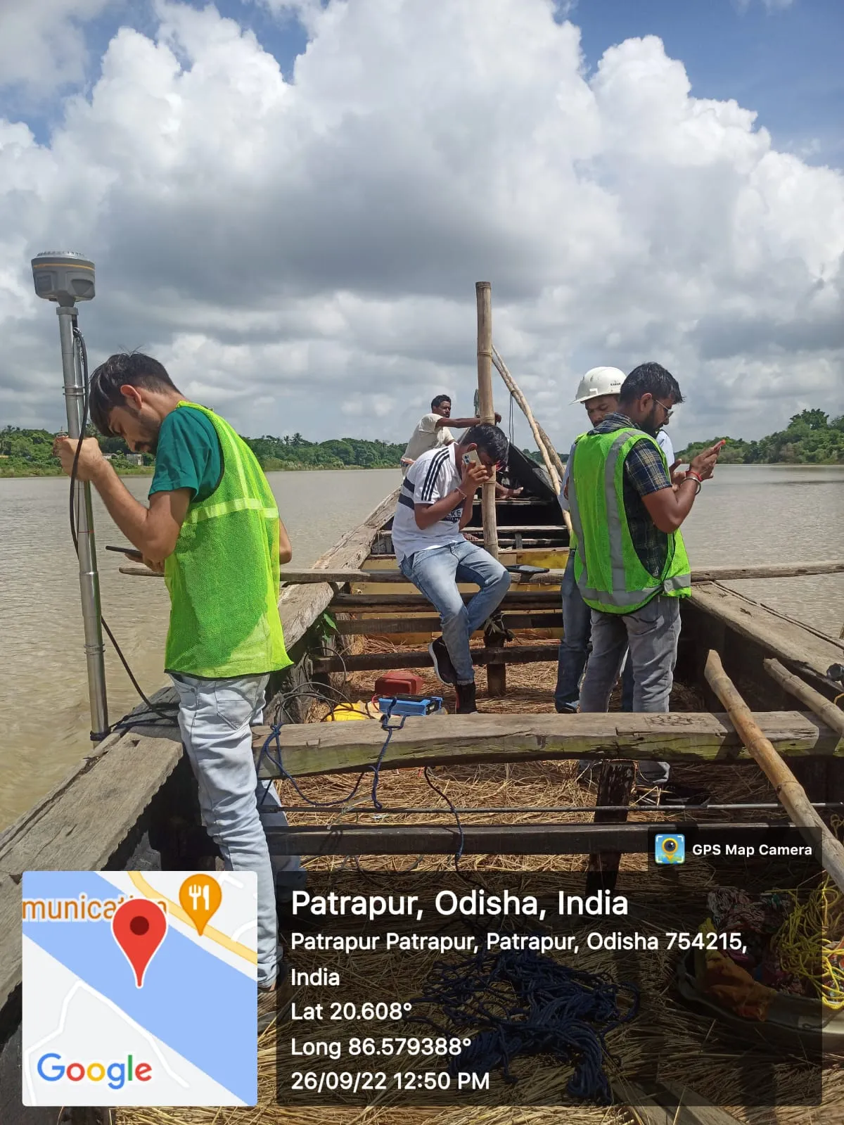 Hydrography
 Survey (Bathymetry Survey)
Hydrography survey with eco-sounder for irrigation projects covering a total area of 3 lakh hectares.
View Project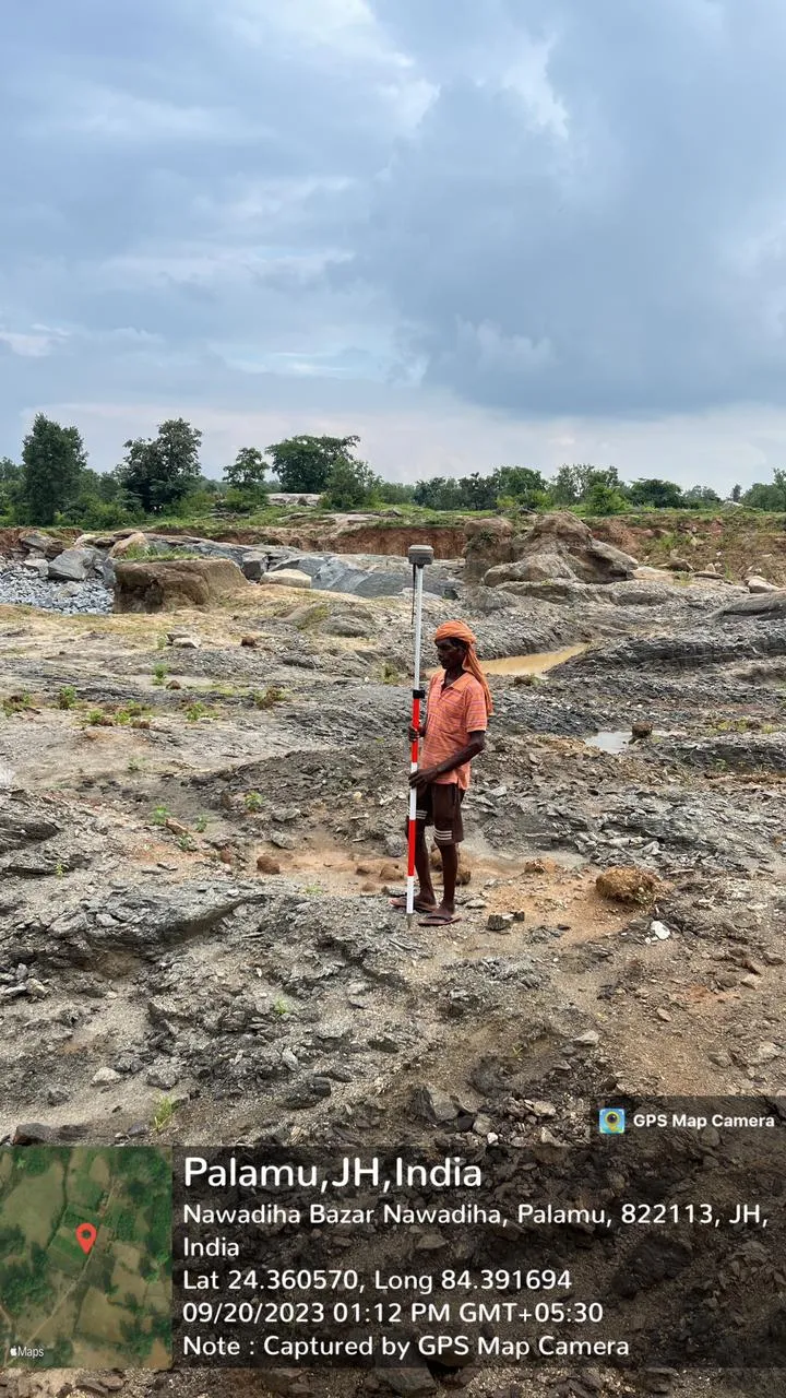 Topography
 Survey
Road surveys of NH and SH near 4,500 km, 4,000 km for WRD Bihar irrigation, 22,000 km of water supply lines and 10,000 acres of mining survey in Jharkhand.
View ProjectHave a survey or infrastructure project?
Tell us what you need — we will get back to you with a quote.