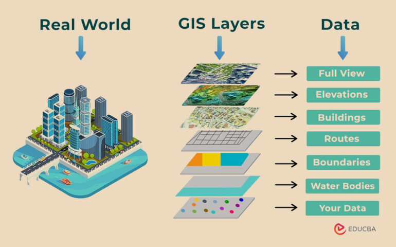
At Geospatial Services, we transform raw location data into strategic assets. Our multidisciplinary team blends expertise in GIS, remote sensing, surveying, and data science to help clients visualize, analyze, and act on the geography of their operations.
Remote Sensing
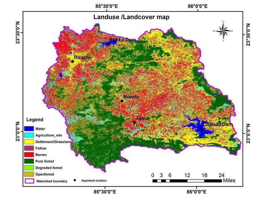
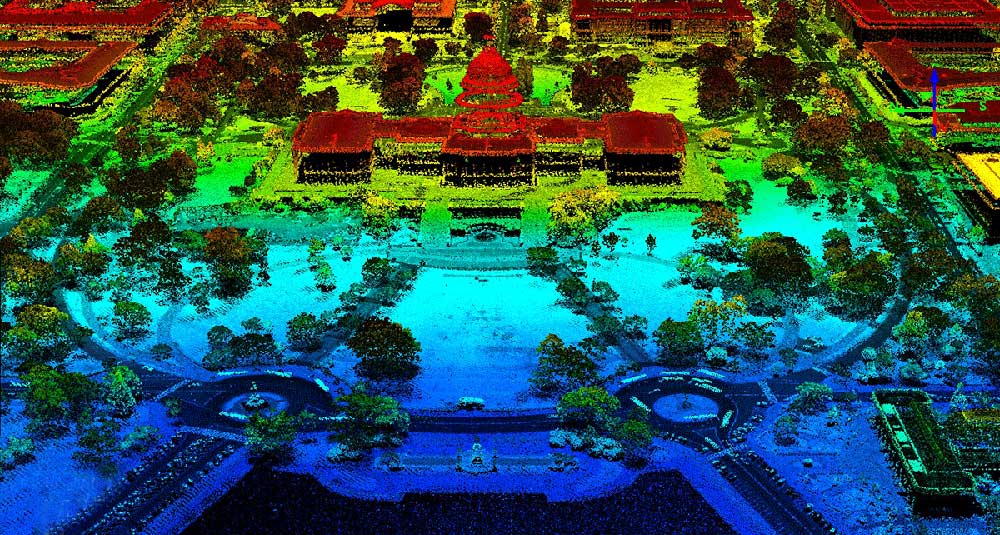
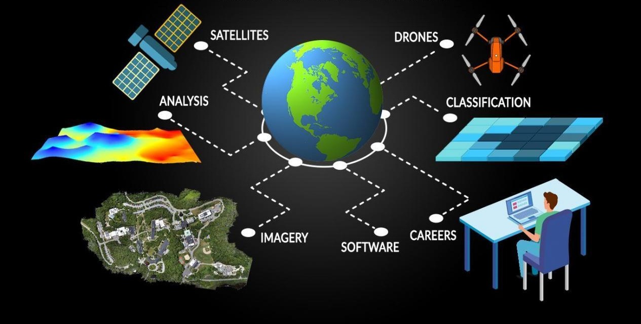
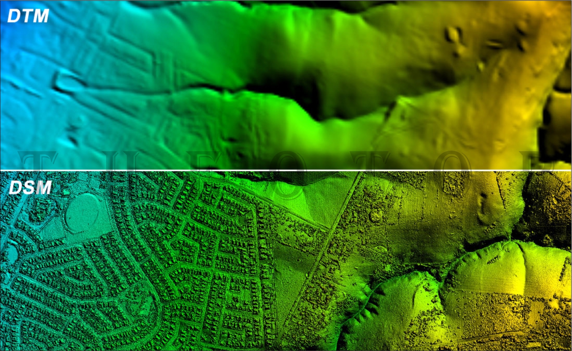
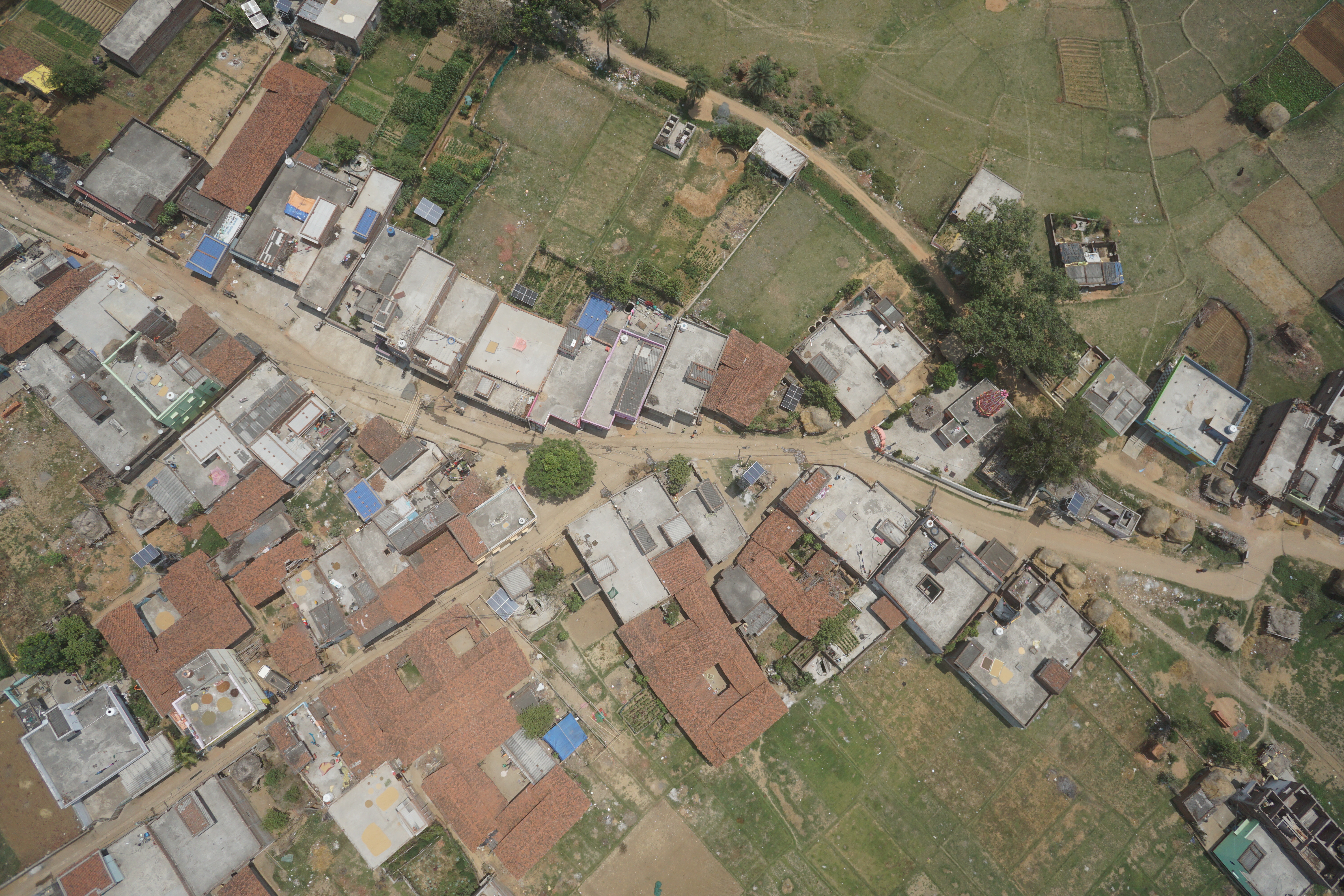
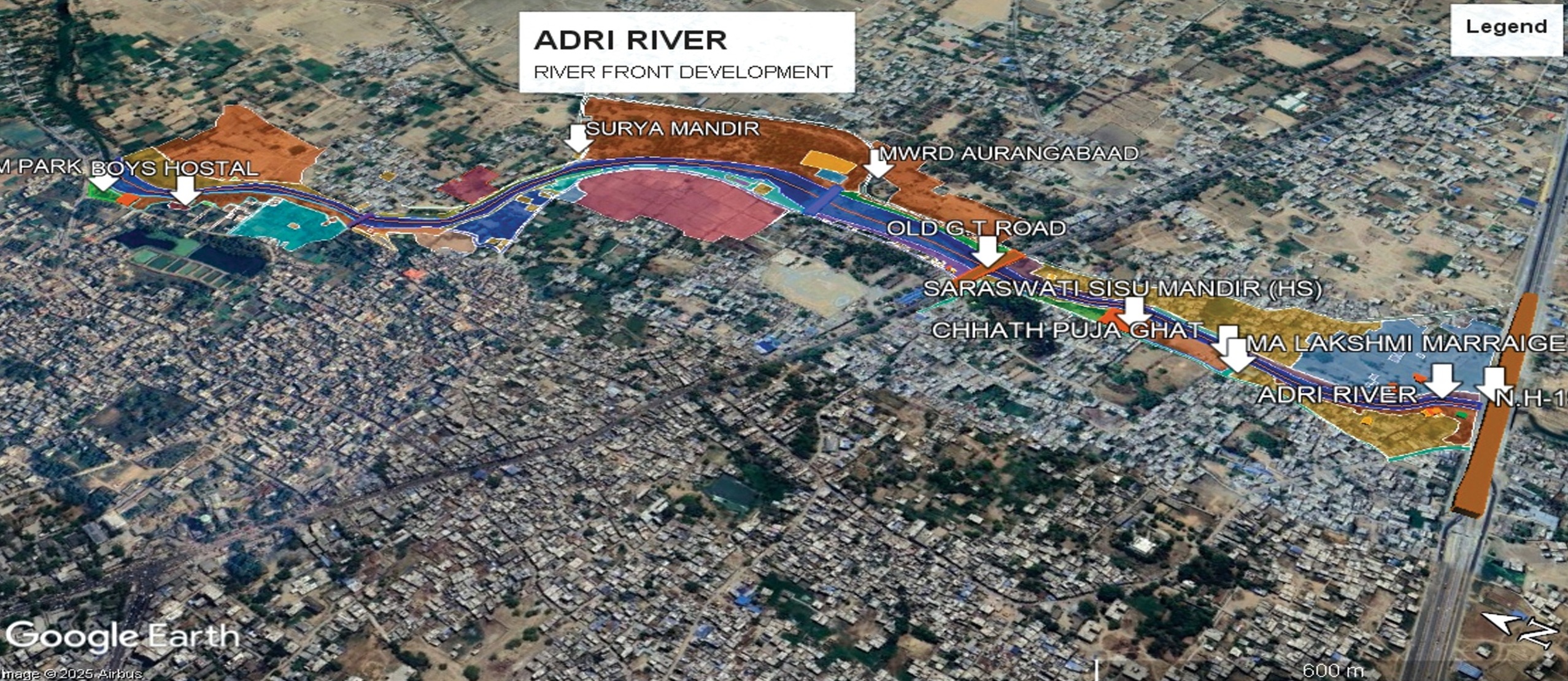
Remote sensing generally refers to use of satellite-or aircraft -based sensor technologies to detect and classify objects on earth. Remotely sensed images can be used in many applications, for example for mineral exploration, monitoring ocean currents, land use planning, and monitoring the condition of forest and agriculture areas.
ASCON provide the following services for remote sensing -
- Agricultural mapping
- Crop Monitoring & Assessment/Damage Assessment
- Creation of Topographic Databases
- Land Use and Land Cover Classification
- Forest Mapping: Canopy Cover Analysis in Forest Area and Vegetation Index (VI)
- Water Resource Management/Watershed Management
- Coastal Ecosystem Monitoring
- Data acquisition
- Satellite Imagery Interpretation and Classification
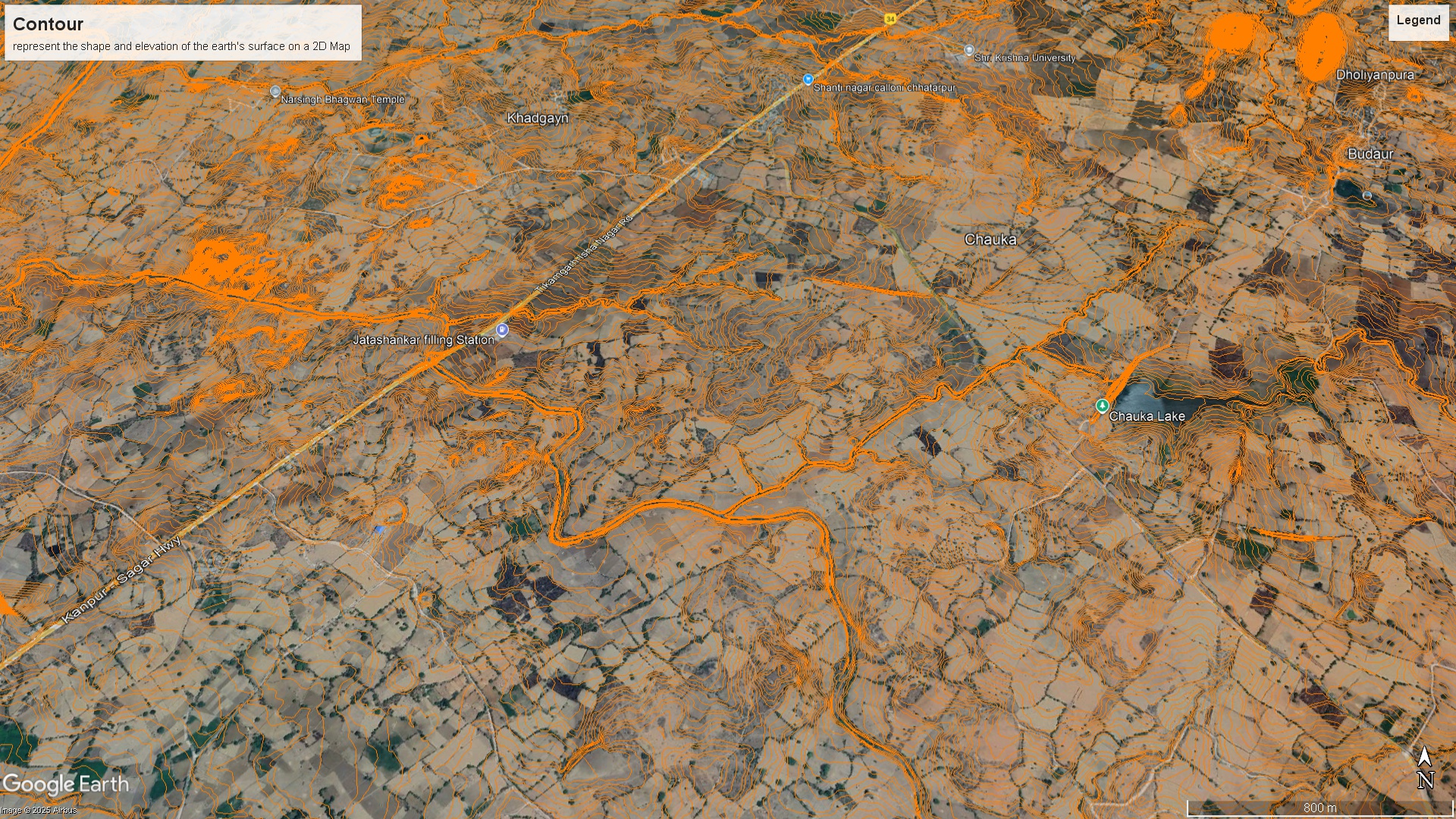
- Digital Elevation Models (DEM)
- Georeferencing
- Satellite Image map
- Stereo Satellite data processing